Waterside Routes
A waterfront line on a map can conceal gates, working yards, stairs, flood-prone sections, and a very long walk back. These guides verify each segment, plan the return, and treat barriers and local notices as current information rather than obstacles to the aesthetic.
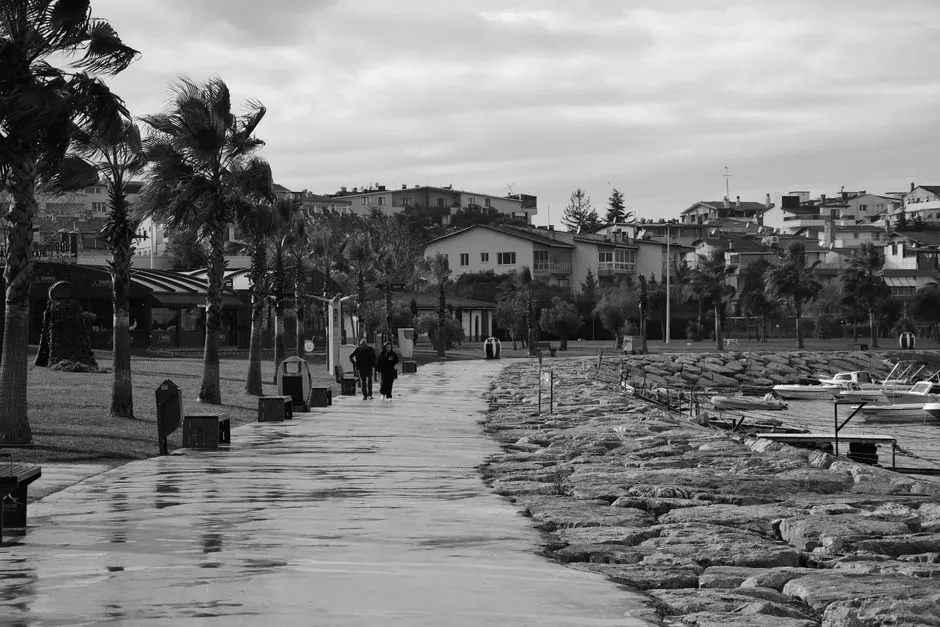
Waterside Routes
How to Plan a Waterfront Walk
Plan a waterfront walk by verifying every segment as a public route and checking surfaces, stairs, gates, bridges, tides or flood exposure, weather,…
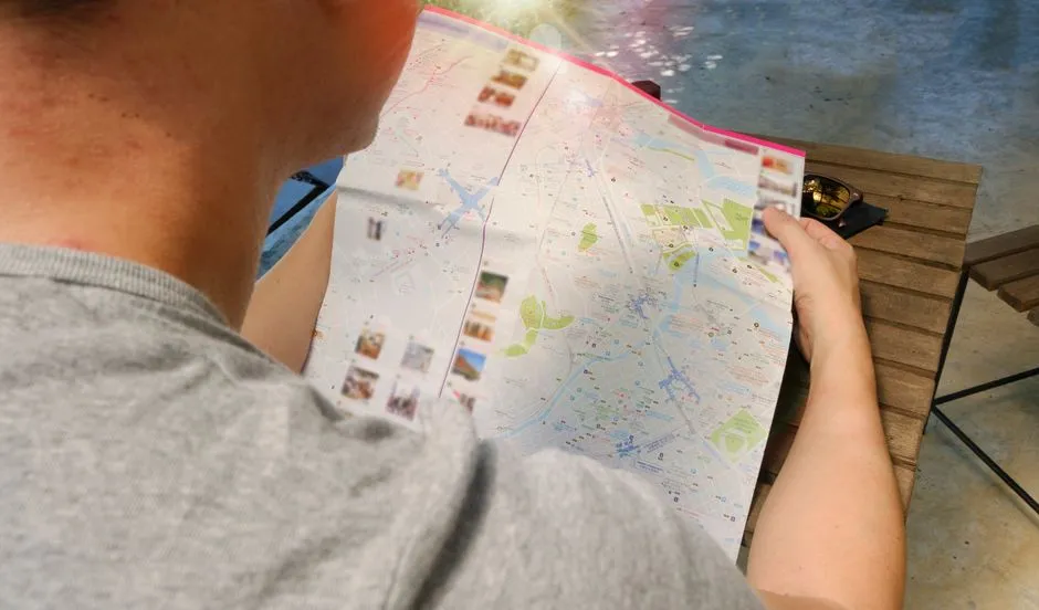
Waterside Routes
How to Read a Tide Table Before a Waterfront Walk
Read a tide table by checking its location, date, time zone, height units and reference level before reading the high and low water entries.